Naturgarten Kaiserstuhl
...enjoy your life with nature
A diverse natural landscape characterises Kaiserstuhl & Tuniberg
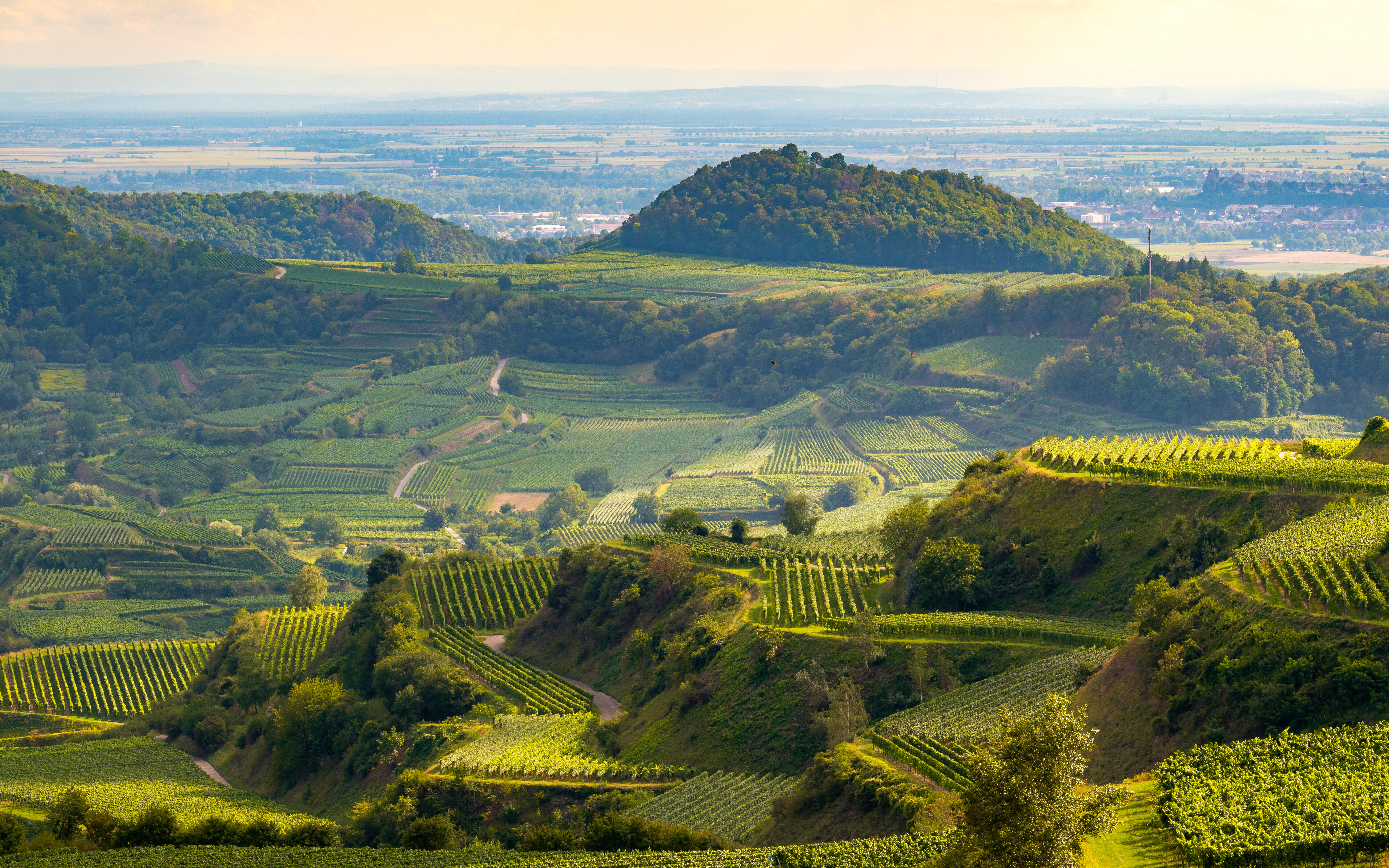
Visible from afar, in the middle of the Rhine plain and framed in the spring by the highest, often snow-covered low mountain ranges of the Vosges and the Black Forest - this is how the Kaiserstuhl lies elevated as a landmark and landmark on the southern Upper Rhine. The Kaiserstuhl covers an area of around 100 square kilometres.
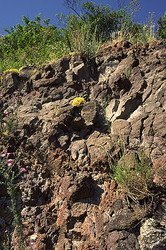
The unique volcanic and loess landscape has been permanently settled by humans for over six thousand years. While volcanism was active 23 and 16 million years ago, the loess was only blown out of the gravel fields of the Rhine during the Ice Age and deposited here in great thicknesses of up to 60 metres. Together with nature, man has significantly shaped the habitats of this landscape.
The 100 m high Tuniberg is considered the "little brother", although it has a completely different geological structure. Here, limestone soils with loess and clay layers predominate. The Tuniberg has a north-south extension of about nine kilometres and an east-west extension of three kilometres. Due to its Freiburg districts on the eastern slope, the Tuniberg is known as the "vineyard of Freiburg" and the "Burgundy oasis".
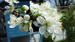
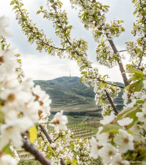
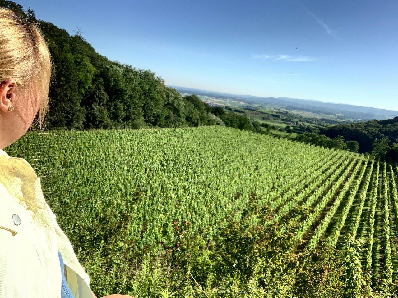
However, both regions are equally known for their picturesque villages, the almost Mediterranean climate (which is responsible for a multitude of extraordinary natural experiences such as emerald lizards, bee-eaters, more than 30 wild orchid species.... to name but a few) and above all, of course, for viticulture and fruit growing.
